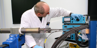
PNNL team weighs options for removing spent fuel from reactor sites
September 2, 2021, 7:00AMRadwaste Solutions
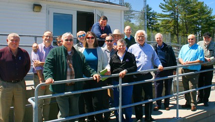
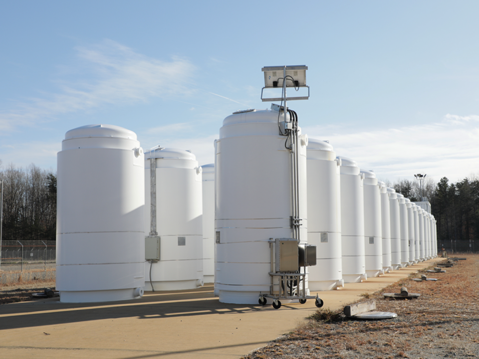
Participants in a site evaluation of the Vermont Yankee nuclear power plant. (Photo: Steve Maheras/PNNL)
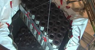
Over the past decade, the Department of Energy has been collecting data on nuclear power plants to help plan for the eventual removal of spent nuclear fuel from the sites, performing site evaluations to assess transportation infrastructure and the transportability of spent fuel.
To continue reading, log in or create a free account!